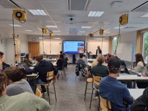
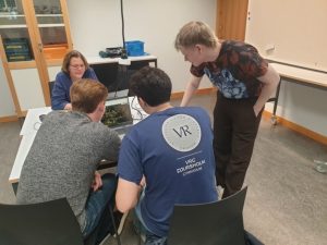
By visualizing satellite images, land cover maps and land surface temperature over time and space, and discussion their observations, the students get a better understanding of urbanization trends and their impact on land surface temperature in cities, as well as ways to use nature-based solutions to improve urban thermal environment.


